SEE THE MOUNTAINS LIKE NEVER BEFORE — AND TALK TO THEM
Point your iPhone at the horizon: Isomaps instantly identifies every peak in augmented reality, up to 80 km away. And now, simply ask it for whatever you need — by voice or keyboard. Plan, record and share your outdoor adventures — even offline.
――――――――――――――――――――
NATURAL LANGUAGE SEARCH (NEW)
• Ask by voice or keyboard: weather, snow, conditions, routes, your activities…
• Built-in voice dictation, in the language of your choice
• The app understands your intent and acts: opens the map, the right layer, the right day…
AUGMENTED REALITY
• Automatic peak identification with name and elevation
• Detection range up to 80 km
• Automatic compass mode on devices without AR
SMART GPS TRACKING
• Continuous background recording, resumes without data loss after an unexpected close
• Automatic pause detection
• Over 30 activity types: hiking, trail running, mountain biking, gravel, running, walking, ski touring, ski mountaineering, cross-country skiing, snowshoeing, mountaineering, climbing, kayaking, canoeing, paddleboarding, paragliding, swimming… plus adaptive activities (joelette, handcycling, sit-ski, wheelchair)
• Heart rate zones (Karvonen) and a live screen of time per zone
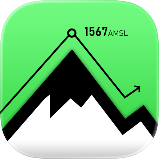
• Interactive elevation profile and GPX export
LIVE TRACKING
• Share your location in real time during an outing
• Your loved ones follow your progress on the map
• Ideal for mountain safety
OFFLINE MAPS
• Topographic, satellite and hybrid maps
• Download an area to use it without a connection
• Thematic layers: weather, avalanche, lightning
• Search for places, peaks and coordinates
MOUNTAIN WEATHER & CONDITIONS
• Ultra-local high-resolution forecasts (Meteoblue), by the hour
• Animated weather maps (temperature, clouds, precipitation)
• Avalanche bulletin (EAWS) and snow cover by massif
• Real-time lightning detection, air quality, climate alerts
• Barometer with adjustable history, sunrise and sunset
3D FLYOVER
• Replay your outings in 3D, and your friends' too
• Video export to share your adventures
BUILT-IN MESSAGING
• Private conversations and groups
• Voice messages, photos, files and links
• Emoji reactions and search within conversations
Stay connected with your group without leaving the app.
OUTDOOR SOCIAL NETWORK
• Add friends, follow other hikers
• Activity feed from your friends and follows
• Likes and comments, sharing with permissions, friend groups
CUSTOMIZABLE DASHBOARD
• Over 25 widgets: weather, stats, goals, records, streak, calendar, photos, period comparisons…
• Rearrange and choose what matters to you
ROUTES & TRACKS
• Draw routes with road snapping
• Import your GPX files, organize them into folders
• Share with friends or via link
INTEGRATIONS
• Apple Health & Apple Watch, Garmin, Strava, Suunto, Polar
• Physiological data: heart rate, cadence, power
FREE TO START
Isomaps is free with the essential features. The Premium subscription (Student pricing available) unlocks advanced layers, full offline mode, voice search and much more.
――――――――――――――――――――
Questions? Check the in-app FAQ or contact us at support@iso-maps.com
Terms: https://www.iso-maps.com/terms
Privacy: https://www.iso-maps.com/privacy
Chrome-Stats does not own this Apple app. Please use these information below to contact the Apple app developer.

 (3)
(3)