Overview
Features & Capabilities
User Growth & Download Statistics
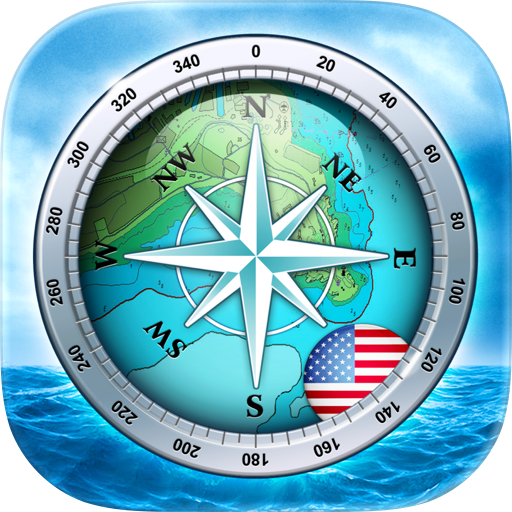
App
- By:
- Walk About Apps
- Rating:
- 3.70 (6)

- Version:
- 2.1 Last updated: 2022-11-07
- Version code:
- 852932930
- Creation date:
- 2022-10-02
- Compatible devices:
- Size:
- 1.29MB
- URLs:
- Website ,Privacy policy
- Full description:
- See detailed description
- Source:
- Apple Apps Store
- Data ingested on:
- 2026-07-19
- Compare stats and ranking:
- Hip Charts vs Nautical Charts & Maps
- Hip Charts vs Navionics® Boating
- Hip Charts vs Greece GPS Nautical Charts
Ranking
For Developers
Contact the developer
Chrome-Stats does not own this Apple app. Please use these information below to contact the Apple app developer.
User Reviews
I can’t find the legend. Please help me find the legend. I am unable to locate it.
by jk*****, 2025-04-10
How is it possible that the entire break water rock wall is miss from the chart of Sag Harbor New York. It is out in the eastern end of Long Island According to the measurement device on you app, the rip rap stone wall is over a mile long; yet it doesn’t show AT ALL on your chart of the harbor.
There is no way to contact you on the app to point out such problems.
I use the app on my phone when I’m out in the ships dingy. I switched from Navionics because your charts seem to have more detail when I blow them up to view the areas where I use the dink.
by Ca*****, 2024-09-14
Best Hip Charts Alternatives
Here are some Apple apps that are similar to Hip Charts:

Nautical Charts & Maps
LW Brands, LLC
4.60  (3,769)

Navionics® Boating
Garmin
2.90 (2,312)

Greece GPS Nautical Charts
MapITech
0.00 (0)

NavLink HD
DigitalYacht Ltd.
4.00 (5)

Adriatic GPS Nautical Charts
MapITech
1.00 (4)

Lake Constance GPS Charts
MapITech
1.00 (9)

Atlas Nautical Charts
MapITech
0.00 (0)
SeaNav US
Pocket Mariner Ltd.
4.30 (100)

iSailGPS : NOAA USA RNC Charts
James Associates Inc.
3.90 (71)

SeaVectors: Marine Navigation
SMALL TECHNOLOGIES INC.
0.00 (0)

i-Boating: USA Marine Charts
Bist LLC
4.30 (185)

Lake Geneva GPS Nautical Chart
MapITech
1.10 (17)