Navigate with ECDIS-grade NOAA & Canada West Coast ENC charts, live NMEA 0183/2000, AIS alerts, CHS/NOAA tide and current stations, and 14-day offline marine forecasts.
SeaVectors combines authoritative electronic charts, connected vessel instruments, AIS collision awareness, government tide and current predictions, route planning, and 14-day offline marine forecasts in one mobile navigation workspace.
Professional ENC Charts
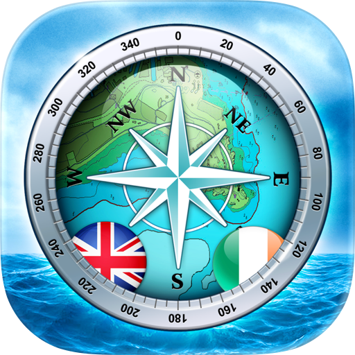
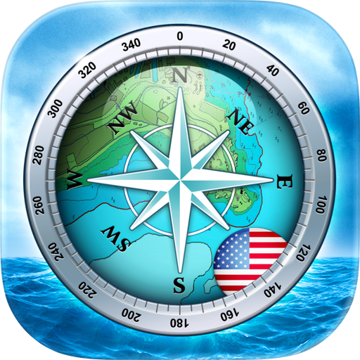
Navigate with official NOAA ENC coverage for the United States and high-definition vector charts for the Canada West Coast. Charts are rendered to the S-57 standard with S-52 symbology for a clear ECDIS-grade presentation. Choose day, night, or satellite styles and configure chart layers for your needs.
14-Day Offline Marine Forecasts
Download 14 days of rain, wind, wave, tide, and current forecasts for the visible map area before departure. Forecasts viewed on the map are cached automatically, helping keep essential planning information available where cellular or satellite connectivity is limited.
CHS and NOAA Tide & Current Stations
View authoritative Canadian Hydrographic Service and NOAA stations directly on the chart. Review current speed and direction, flood and ebb conditions, slack-water periods, turning times, tide height, rising or falling trends, and upcoming high and low tides. Station markers and crosshair summaries help identify important local conditions around harbours, channels, narrows, and tidal passages.
Marine Weather & Current Overlays
Review hourly precipitation, temperature, wind, gusts, waves, tides, and currents. Select automatic model selection, NOAA NWS, or Environment Canada where available. Animated overlays display conditions on the chart, while a full-screen forecast view aligns all marine categories on a shared timeline. Current overlays combine Open-Meteo modeling with localized adjustments from nearby official stations.
NMEA Instruments & Dashboard
Connect to your boat’s network over Wi-Fi and receive live NMEA 0183 and NMEA 2000 data. SeaVectors supports multiple engines, tanks, batteries, and other device instances. View speed, depth, wind, heading, position, RPM, fuel, and other available readings in a customizable instrument panel and categorized full-screen dashboard.
AIS Collision Awareness
View nearby AIS vessels with chart labels, closest point of approach (CPA), and time to CPA (TCPA). Configurable safety thresholds, colour-coded risk levels, flashing warnings, and escalating alarms help identify developing collision risks.
Routes, Alerts & Personal Data
Create multi-leg routes with distance, ETA, and fuel estimates, then preview them with built-in simulation. Receive alerts for charted Restricted Areas and supported DFO fishing closures. Record and replay tracks, manage routes, and add markers with labels, notes, photos, or video.
Offline Charts
Charts are cached automatically as you browse, preserving previously viewed coverage when a connection is unavailable. Storage Management provides cache details and controls for removing local data.
English & Simplified Chinese
Marine weather, tides, currents, station information, and offline forecast tools are available in English and Simplified Chinese.
Subscription
SeaVectors includes a 30-day free trial. A subscription is required afterward for continued full access. Payment is charged to your Apple ID and renews automatically unless cancelled at least 24 hours before the end of the current subscription period. Manage or cancel your subscription in your App Store account settings.

 (100)
(100)