GPS Land Area Distance Acres
Measure any field, lawn, or roof in 30 seconds. Tap corners on the satellite map and get exact area, perimeter, and acreage — without ever leaving your truck.
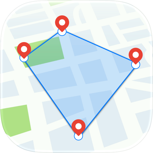
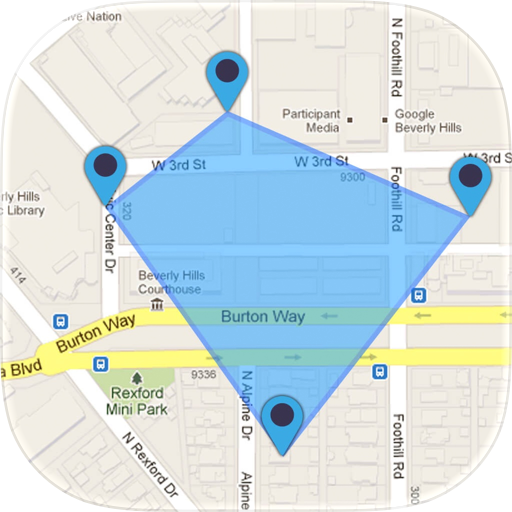
Measure any field, lawn, roof, or property in 30 seconds — without ever leaving your truck. Landmetr is the GPS land area calculator and field measurement app for outdoor pros. Tap a few corners on the satellite map and see exact area, perimeter, and distance instantly.
Landmetr is a GPS land area calculator and field measurement app built for farmers, landscapers, roofers, solar installers, surveyors, and anyone who needs to know how big a piece of land is — without walking it, guessing it, or squinting at Google Earth on a desktop. Think of it as a modern measuring wheel that fits in your pocket.
WHY LANDMETR
• Measure any field in under a minute — no more pacing, no more measuring wheels
• Acreage you can stake your job on — accurate to within a few feet using high-resolution satellite imagery
• Every plot in one place — folders, photos, notes, and color-coded markers for fast recall
• Share with one tap — export as KML, GeoJSON, GPX, CSV, or image to send to clients or import into other tools
HOW IT WORKS
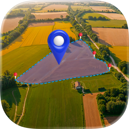
- Open Landmetr and find your land on the satellite map
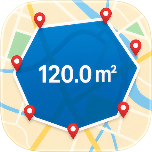
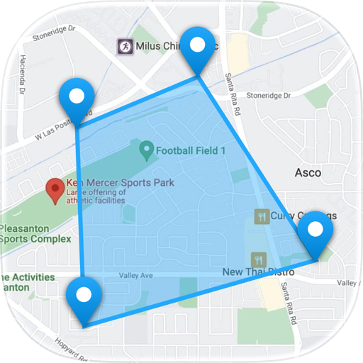
- Tap each corner of the field, building, or boundary you want to measure
- See exact area, perimeter, and distance instantly — in your preferred units
FEATURES
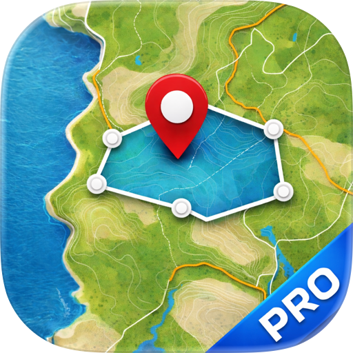
• Three measurement modes — Field (area + perimeter), Distance (path length), and Marker (single GPS point)
• Tap-to-place vertices on a Google Maps satellite view
• GPS Walk Mode — walk the perimeter and let your phone trace it for you
• Drag any corner to fine-tune, tap midpoints to insert new vertices, full undo and redo
• Photos attached to every measurement, straight from camera or library
• Notes and descriptions for every plot
• Folders to organize jobs by client, property, or season
• Per-measurement custom colors so plots are easy to tell apart on the map
• Metric and Imperial units — square meters, ares, hectares, square kilometers, square feet, square yards, acres, meters, kilometers, feet, yards, miles
• Export to KML, GeoJSON, GPX, CSV, and JPG image
• Import KML, GPX, GeoJSON, and CSV files from other tools
• Cached map tiles work offline once an area has been viewed
PERFECT FOR
• Farmers and landowners — plan fertilizer, seed, irrigation, and crop yields
• Landscapers — quote lawns, mulch, sod, and hardscape jobs in seconds
• Roofers and solar installers — estimate roof area from above before climbing a ladder
• Construction crews — measure job sites, excavation areas, and material zones
• Real estate agents — verify lot sizes for listings and showings
• Surveyors and inspectors — fast preliminary measurements before a formal survey
• Hunters, hikers, and ranchers — track land, trails, and pasture
QUESTIONS, ANSWERED
Q: Do I need cell signal to measure?
A: You need a connection once to load satellite tiles for an area. After that, cached tiles and your saved measurements work offline.
Q: How accurate is it?
A: Measurements use Google Maps satellite imagery and your phone's GPS — accurate to within a few feet for typical fields, lots, and roofs. Walk Mode uses live GPS for on-the-ground precision.
Q: Do I need to create an account?
A: No. Landmetr is fully anonymous. No sign-up, no email, no password — just open the app and measure.
PRIVACY
No account, no sign-in, no tracking. Your measurements stay on your device.
Stop pacing fields and squinting at desktop maps. Measure smarter with Landmetr.
Terms of Use: https://sites.google.com/view/field-area-measure-app/terms-of-use
Privacy Policy: https://sites.google.com/view/field-area-measure-app/privacy-policy
Chrome-Stats does not own this Apple app. Please use these information below to contact the Apple app developer.

 (2)
(2)