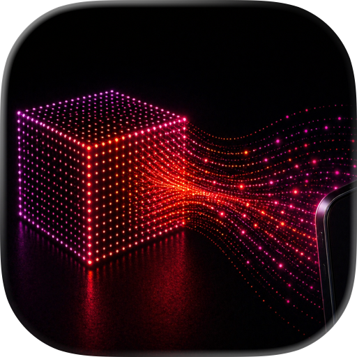
Real-Time Depth Visualization
LiDARVisionPro transforms your iPhone's LiDAR sensor into a powerful real-time depth visualization tool. See the three-dimensional structure of the world around you through six stunning rendering modes -- all running live at full frame rate.
VISUALIZATION MODES
- Heatmap: Classic thermal-style depth coloring from near to far
- Night Vision: Low-light phosphor look that reveals depth in darkness
- Edge Detection: Highlights surface boundaries and object outlines
- Point Cloud: Interactive 3D point cloud rendered in real time
- Depth Fog: Atmospheric fog effect that fades with distance
- 3-Zone Tricolor: Divides the scene into near, mid, and far depth bands
MULTI-MODE OVERLAY
Activate multiple visualization modes at the same time. Layer edge detection over a heatmap, combine point cloud with night vision, or create your own custom blend. Modes composite in a carefully tuned order for clean, readable results.
CAMERA-GUIDED ENHANCEMENT
LiDARVisionPro uses a technique called joint bilateral upsampling that combines camera image data with the LiDAR depth map. The result is sharper depth boundaries that follow real object edges and added surface texture detail -- far beyond what raw LiDAR data provides on its own.
COLOR THEMES
Choose from six color themes to change the look of every visualization mode:
- Green (classic phosphor)
- Blue
- Orange
- Mono (grayscale)
- Rainbow
- Purple
Each theme applies a custom near-to-far color gradient across all 2D modes.
MEASUREMENT TOOLS
A live depth readout displays the distance to the center of the scene in real time. Switch between metres and feet in settings. A color scale bar shows the mapping from color to depth so you always know what you are looking at. Adjust the minimum and maximum depth range from 0.1 m out to 15 m to focus on exactly the distances that matter.
AR DISTANCE MARKERS (Premium)
Tap anywhere on the scene to place a persistent AR marker that displays the distance to that point. Markers stay anchored in 3D space as you move the device, giving you a quick and accurate way to measure objects and rooms.
CAPTURE AND EXPORT (Premium)
- Screenshot: Save any visualization as a high-resolution image
- Video Recording: Record your depth visualizations as video with a live timer
- Point Cloud Export: Export the current LiDAR depth frame as a .PLY file for use in 3D modeling, CAD, or further analysis
ADVANCED FILTERS (Premium)
- Adjustable depth range (min and max sliders)
- Spatial smoothing for cleaner depth maps
- Camera enhancement toggle for edge-guided upsampling
- Reset to defaults with one tap
FREE AND PREMIUM
LiDARVisionPro is free to download and use. All six visualization modes, multi-mode overlay, color themes, and live measurement work without any purchase. A small banner ad is shown at the bottom of the screen.
A one-time in-app purchase unlocks Premium and removes all ads permanently. Premium also enables AR markers, screenshot and video capture, point cloud export, and advanced depth filters.
REQUIREMENTS
LiDARVisionPro requires an iPhone equipped with a LiDAR sensor (iPhone 12 Pro and later Pro models). iOS 17.0 or later is required.
Chrome-Stats does not own this Apple app. Please use these information below to contact the Apple app developer.


 (0)
(0)