Big Island USGS/Cam/Alert/Maps
See Hawai’i earthquakes in 3 ways: maps, underground cross-sections, and interactive 3D. Live USGS cams, news, trends, swarms, eruption, lava, notifications®ion filter
Aloha!
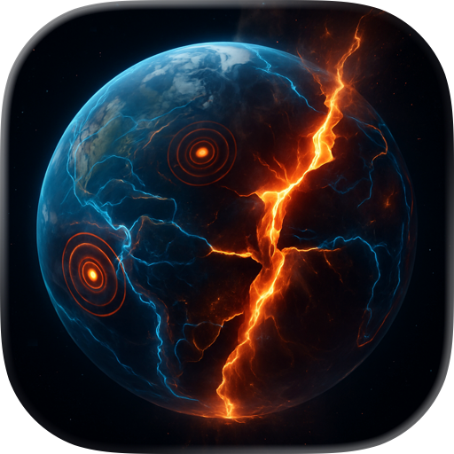
This real-time earthquake & volcano monitoring app focuses on Hawaii Island’s three active volcanoes: Kilauea, the most active volcano in the world; Mauna Loa, the largest active volcano on Earth: Hualalai, perhaps the most mysterious volcano in Hawaii; the dormant volcano Mauna Kea & the possible next island Kamaehuakanaloa (Loihi)
Built for residents, researchers, educators, travelers, hikers, photographers, emergency planners, and anyone fascinated by Hawaii geology, Earthquakes Hawaii helps you move beyond headlines & see what's happening now.
Track the latest seismic activity with live USGS-based data:
- Live HVO cams for Kilauea, Mauna Loa, Mauna Kea, & Hawaii Volcanoes National Park
- Magnitude, depth, and location for each event
- Fast access to recent events across Hawaii Island & worldwide.
Big Island focus - 3 ways to explore the subsurface:
Cross-Section View
Vertical slices through the island show epicenters, hypocenters, & underground structures
Spinning Island View
Rotate slowly thru 360 view of Big Island & below to compare surface events, deeper quakes, & cross-sections from different angles.
3D Point Cloud View
Explore using a fast (thanks to Apple Silicon) interactive 3D point cloud of earthquake activity below the island surface to see where events cluster in space and time
Visualization and analysis features:
- 3D globe with depth exaggeration and color-coded magnitude
- Adjustable time ranges including 24 hours, 7 days, and 30 days
- Large, resizable windows for close inspection on laptops & large displays. Perfect app to get the big picture of seismic & volcanic events on, around & below Big Island on big monitors
- Map view, search, useful stats, including counts, average magnitude, & max magnitude by time window
- Kilauea tilt data for additional eruption context
- Region filters for Hawaii, Big Island, Big Island plus Kamaehuakanaloa (Loihi), & worldwide activity
Custom Alerts:
A variety of free notifications can be set to help locals, researchers, photographers & volcano watchers stay aware of changing seismic & volcanic conditions. Swarm activity, tilt, lava flows, fountains, magnitude, depth & proximity, etc. offer clues to events.
Why people use Earthquakes Hawaii:
- Residents want fast local awareness
- Curious visitors want context before exploring the island
- Researchers & students want a clear visual tool
- Educators want a vivid way to explain Hawaiian volcanism
- 471 surprising FAQs about earthquakes, volcanoes, Hawaiian geology, and island history
Earthquakes Hawaii is also a great companion for anyone interested in lava, rift zones, calderas, earthquake swarms, volcanic tilt, magma movement, hotspot geology, & the birth of the Hawaiian Islands. It is a practical island tool, a geology viewer, & a living science window into one of the most active volcanic regions on Earth
Great for island life & field use:
- Check activity before hiking, sightseeing, camping, boating, diving, or visiting Volcano
- Watch earthquake sequences develop near Kilauea, Mauna Loa, or offshore south of Hawaii
- Compare shallow & deep events to better understand where activity is concentrated
- Timeline history of the volcanoes eruptions.
- Use the app as a daily volcano & earthquake dashboard for the Big Island
Whether you are a local keeping an eye on home, a visitor planning an unforgettable trip, or a researcher following seismic clues, Earthquakes Hawaii turns raw seismic data into a clearer, more visual, more useful experience
Built for research, education, exploration, travel, & the question almost everyone asks:
When will Kilauea erupt next?
This is only the beginning. More features are on the way
We welcome ideas, questions, bug reports & additions. Contact us through the app
Mahalo
Privacy policy: https://plumamazing.com/legal#privacy
The app uses Apple's standard End User License Agreement (EULA): https://www.apple.com/legal/internet-services/itunes/dev/stdeula/
Chrome-Stats does not own this Apple app. Please use these information below to contact the Apple app developer.

 (50)
(50)