Overview
Features & Capabilities
User Growth & Download Statistics
App
- By:
- Walk About Apps
- Rating:
- 4.20 (12)

- Version:
- 4.0 Last updated: 2017-09-28
- Version code:
- 841433505
- Creation date:
- 2013-05-16
- Compatible devices:
- Size:
- 19.33MB
- URLs:
- Website ,Privacy policy
- Full description:
- See detailed description
- Source:
- Apple Apps Store
- Data ingested on:
- 2026-07-21
- Compare stats and ranking:
-
Ranking
For Developers
Contact the developer
Chrome-Stats does not own this Apple app. Please use these information below to contact the Apple app developer.
User Reviews
Works for me . Good app. Helpful for boating . How do I get the dropped pin off the map? Maybe make a faq page for the app, for easier use
by Be*****, 2020-08-02
The map always automatically loads to a picture map. It is very irritating and I would love to just keep the satellite map on while I browse the ocean depths. Is there any way to just keep the satellite map on without it automatically switching?
by Li*****, 2020-07-26
Best Great Depths Alternatives
Here are some Apple apps that are similar to Great Depths:

Charts & Tides
Navimatics Corporation
0.00  (0)
(0)
SeaNav US
Pocket Mariner Ltd.
4.30 (100)

NavLink HD
DigitalYacht Ltd.
3.00 (3)

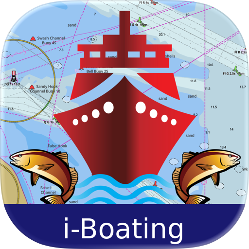
i-Boating: USA Marine Charts
Bist LLC
4.30 (185)
PRO CHARTS - Marine Navigation
MiraTrex, Inc.
4.50 (8,469)
i-Boating: Marine Charts & Gps
Bist LLC
4.50 (14,615)

iSailGPS : NOAA USA RNC Charts
James Associates Inc.
3.90 (71)
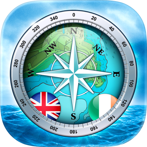
SeaNav UK & Ireland
Pocket Mariner Ltd.
4.50 (92)

SeaDrive: Boat Navigation
Sea Drive, LLC
4.50 (257)

i-Boating: Canada & USA - Marine / Nautical Navigation Charts for fishing & sailing
Bist LLC
3.80 (13)

Navionics® Boating
Garmin
2.90 (2,314)
SeaNav
Pocket Mariner Ltd.
4.40 (242)