


Features & Capabilities
User Growth & Download Statistics
App
- By:
- ESRI
- Rating:
- 3.60 (42)

- Version:
- 2.7 Last updated: 2026-05-29
- Version code:
- 886176245
- Creation date:
- 2019-09-17
- Compatible devices:
- Size:
- 123.87MB
- URLs:
- Website ,Privacy policy
- Full description:
- See detailed description
- Source:
- Apple Apps Store
- Data ingested on:
- 2026-07-02
- Compare stats and ranking:
-
For Developers
Contact the developer
Chrome-Stats does not own this Apple app. Please use these information below to contact the Apple app developer.
User Reviews
Pros
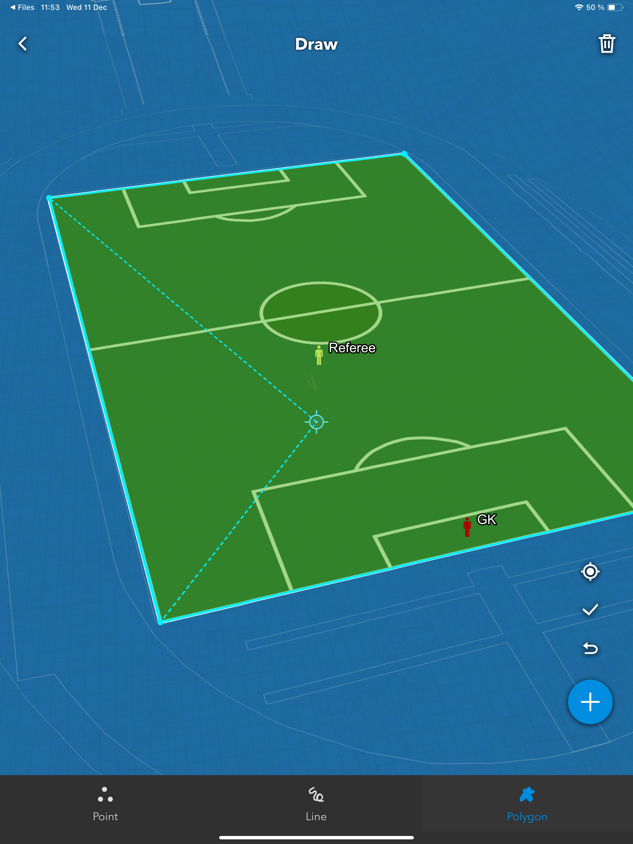
- Easy to use and intuitive UI
- Works well on mobile devices (viewing places on iPhone/iPad)
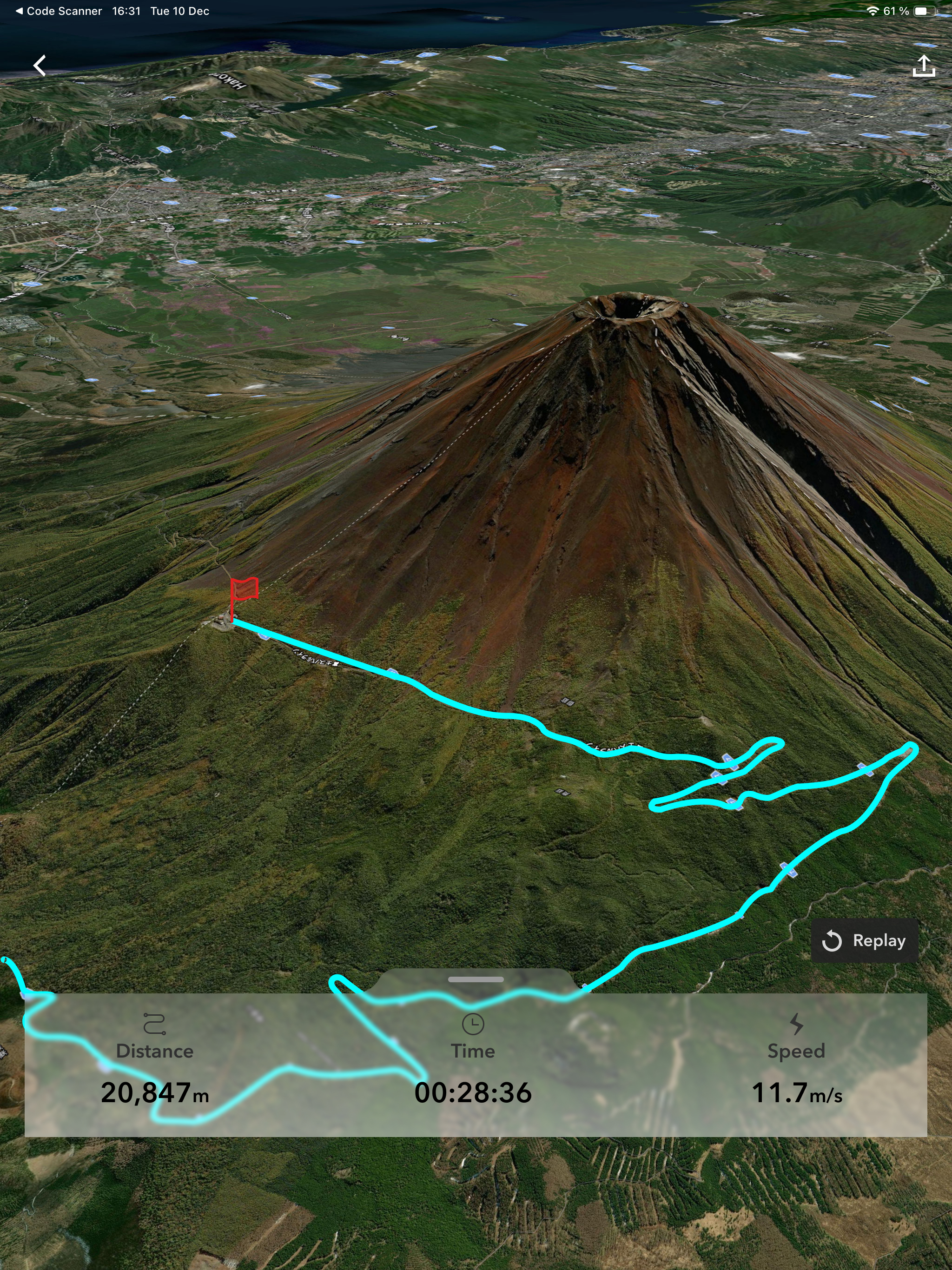
- Captures activities and geotagged photos with location and can sync/share data
- Automatic saving of tracks to ArcGIS Online
Cons
- Lack of landscape mode / iPad optimization (portrait-only on iPad)
- No Apple Pencil support
- Stability issues and risk of data loss (crashes, placemarks potentially deleted)
- Content loading issues / My Content not visible on iOS
Recent reviews
The app is pretty okay, but definitely lacking in some basic functionality for an iOS or iPadOS application. The lack of a landscape display option for users working from an iPad is rather infuriating as it prevents the user from being able to use it on the iPad using a keyboard. From an iOS perspective, some of the target audience of this will likely use Juggernaut cases or similar to keep a phone accessible, but able to fold away and likewise need a landscape orientation option. When adding / editing features, the navigation of adding points is counterintuitive to the gestures and there is zero support for Apple Pencil. This works as a basic app, but there is a ton of room to grow and ESRI can definitely do better. Perhaps just an artifact of ESRI’s overall lack of support for the Apple ecosystem.
by BC*****, 2025-08-27
Gulf of Mexico has the wrong name and I won’t use a service that doesn’t follow current international standards for the names of bodies of water
by de*****, 2025-03-06
Good so far, but I’ve only been doing data points for a project. It would be awesome if you could add a light mode as it is hard to see in sunny areas. Or it’s there somewhere and I’m blind.
by Or*****, 2025-02-18
Best ArcGIS Earth Alternatives
Here are some Apple apps that are similar to ArcGIS Earth:

ArcGIS Field Maps
ESRI
2.40  (27)
(27)

ArcGIS Workforce
ESRI
3.00 (9)
Google Earth
Google
4.00 (46,654)
Zoom Earth: Street View
Kailasben Dobariya
4.50 (111)

Esri Support
ESRI
4.50 (33)

Unearth App
Procore Technologies, Inc.
3.90 (16)

TerraExplorer
Skyline Software Systems, Inc.
0.00 (0)

Geospatial Portal
Intergraph Corporation
0.00 (0)

Workforce for ArcGIS
ESRI
3.80 (16)

GoGIS
GoGIS LLC
0.00 (0)

ArcGIS Indoors
ESRI
5.00 (5)

BIGEMAP
Chengdu Bigemap Data Processing Co. Ltd
5.00 (1)