Overview
Features & Capabilities
User Growth & Download Statistics
App
- By:
- Alex Gugel
- Rating:
- 4.70 (30)

- Version:
- 7.9.1 Last updated: 2026-07-12
- Version code:
- 888180826
- Creation date:
- 2020-04-08
- Compatible devices:
- Size:
- 102.00MB
- URLs:
- Website ,Privacy policy
- Full description:
- See detailed description
- Source:
- Apple Apps Store
- Data ingested on:
- 2026-07-24
- Compare stats and ranking:
- Washington Pocket Maps vs National Forests Northwest
- Washington Pocket Maps vs Oregon Pocket Maps
- Washington Pocket Maps vs Hawaii Pocket Maps
Ranking
For Developers
Contact the developer
Chrome-Stats does not own this Apple app. Please use these information below to contact the Apple app developer.
Best Washington Pocket Maps Alternatives
Here are some Apple apps that are similar to Washington Pocket Maps:
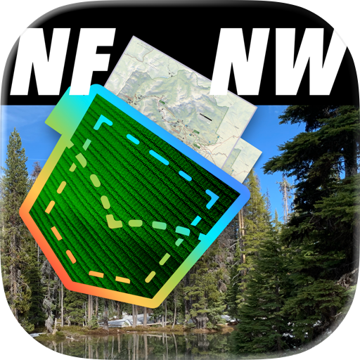
National Forests Northwest
Alex Gugel
0.00  (0)
(0)
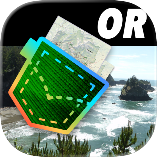
Oregon Pocket Maps
Alex Gugel
4.40 (81)

Hawaii Pocket Maps
Alex Gugel
4.30 (15)
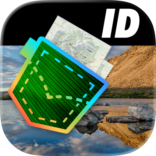
Idaho Pocket Maps
Alex Gugel
4.60 (82)

Wyoming Pocket Maps
Alex Gugel
4.70 (105)
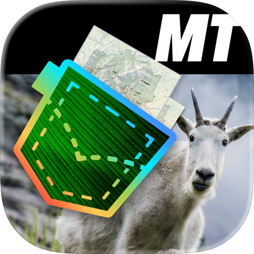
Montana Pocket Maps
Alex Gugel
4.40 (31)
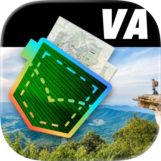
Virginia Pocket Maps
Alex Gugel
4.40 (48)
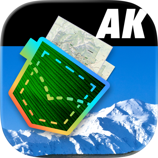
Alaska Pocket Maps
Alex Gugel
4.60 (103)
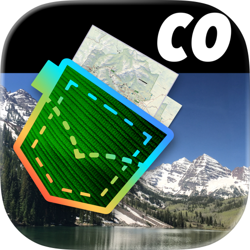
Colorado Pocket Maps
Alex Gugel
4.70 (173)
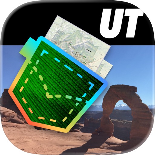
Utah Pocket Maps
Alex Gugel
4.60 (141)

Texas Pocket Maps
Alex Gugel
4.50 (85)

Pennsylvania Pocket Maps
Alex Gugel
4.50 (84)