Overview
Features & Capabilities
User Growth & Download Statistics
- By:
- Alex Gugel
- Rating:
- 4.60 (141)

- Version:
- 7.9.1 Last updated: 2026-07-11
- Version code:
- 888121382
- Creation date:
- 2017-10-07
- Compatible devices:
- Size:
- 103.40MB
- URLs:
- Website ,Privacy policy
- Full description:
- See detailed description
- Source:
- Apple Apps Store
- Data ingested on:
- 2026-07-24
- Compare stats and ranking:
- Utah Pocket Maps vs Wyoming Pocket Maps
- Utah Pocket Maps vs Montana Pocket Maps
- Utah Pocket Maps vs Idaho Pocket Maps
Ranking
For Developers
Contact the developer
Chrome-Stats does not own this Apple app. Please use these information below to contact the Apple app developer.
User Reviews
There’s a nag screen with every move. It’s relentless. I give 2 stars because it does work but the nag screens are wayyy past annoying.
by WT*****, 2023-04-02
This series of maps and info packets is well done.
The issue with the app is organization.
Different States require different apps rather than simply adding it to the main app. As a result, I have a good case of app litter most times I use this app.
The second issue is, within the app, there is no way to switch from one park (within a State) to another without going to search. Which means you have to remember the names of what you've downloaded. As well as the name of where you might want to consider as a next stop. There is a listing of large banners that can be flipped through to select a park. However, it’s not always in alphabetic order and it’s a really lousy substitute for a simple table of contents. Not to mention flipping through endless banners in States with lot's of parks.
Hopefully the developer will streamline the app as it’s pretty good but too frustrating to use at times.
by xg*****, 2019-02-05
Best Utah Pocket Maps Alternatives
Here are some Apple apps that are similar to Utah Pocket Maps:

Wyoming Pocket Maps
Alex Gugel
4.70  (105)
(105)
Montana Pocket Maps
Alex Gugel
4.40 (31)
Idaho Pocket Maps
Alex Gugel
4.60 (82)
Colorado Pocket Maps
Alex Gugel
4.70 (173)
Yellowstone Pocket Maps
Alex Gugel
4.90 (22)
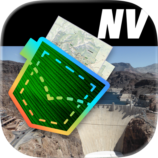
Nevada Pocket Maps
Alex Gugel
4.80 (47)
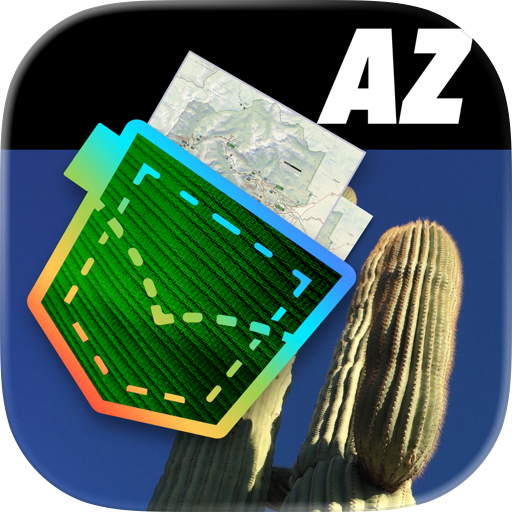
Arizona Pocket Maps
Alex Gugel
4.60 (147)
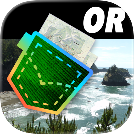
Oregon Pocket Maps
Alex Gugel
4.40 (81)
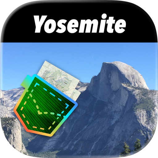
Yosemite Pocket Maps
Alex Gugel
4.80 (10)
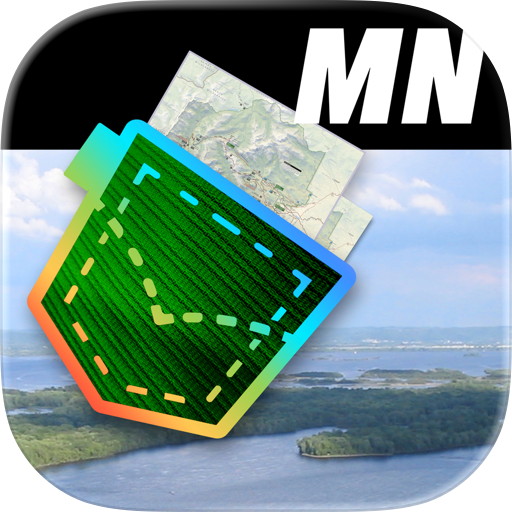
Minnesota Pocket Maps
Alex Gugel
4.10 (9)
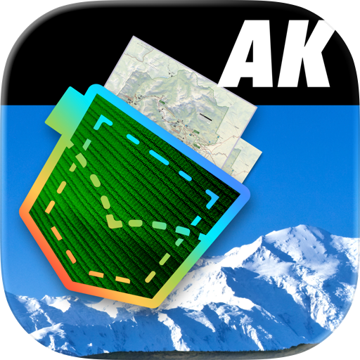
Alaska Pocket Maps
Alex Gugel
4.60 (103)

National Parks Pocket Maps
Alex Gugel
4.70 (2,381)