Overview
Features & Capabilities
User Growth & Download Statistics
App
- By:
- Alex Gugel
- Rating:
- 4.80 (47)

- Version:
- 7.9.1 Last updated: 2026-07-11
- Version code:
- 888147237
- Creation date:
- 2017-10-15
- Compatible devices:
- Size:
- 103.51MB
- URLs:
- Website ,Privacy policy
- Full description:
- See detailed description
- Source:
- Apple Apps Store
- Data ingested on:
- 2026-07-24
- Compare stats and ranking:
- Nevada Pocket Maps vs Lake Tahoe Pocket Maps
- Nevada Pocket Maps vs New Mexico Pocket Maps
- Nevada Pocket Maps vs Idaho Pocket Maps
Ranking
For Developers
Contact the developer
Chrome-Stats does not own this Apple app. Please use these information below to contact the Apple app developer.
User Reviews
Only stays open a few seconds and the. Closes the app
by ju*****, 2021-07-31
Especially now, there is changing information due to Covid and they manage to keep abreast of it and update the app.
My only quibble is that if I browse a particular park, it seems to automatically assume that I want live updates on it. So suddenly I'll get a notification about weather around there or closure due to fire, etc. when I didn't even remember looking at that particular park. So I have to go in and change it to not receive live updates I'd like that to be an opt in rather than an opt out.
by Tr*****, 2020-10-25
Best Nevada Pocket Maps Alternatives
Here are some Apple apps that are similar to Nevada Pocket Maps:
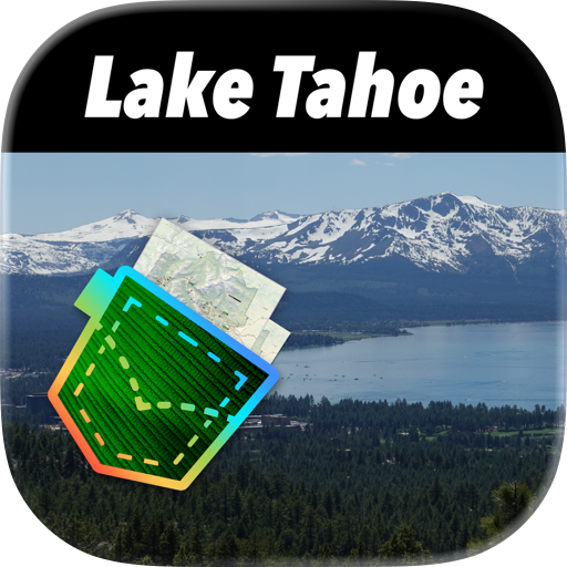
Lake Tahoe Pocket Maps
Alex Gugel
4.80  (4)
(4)

New Mexico Pocket Maps
Alex Gugel
4.50 (110)
Idaho Pocket Maps
Alex Gugel
4.60 (82)
Colorado Pocket Maps
Alex Gugel
4.70 (173)
Utah Pocket Maps
Alex Gugel
4.60 (141)
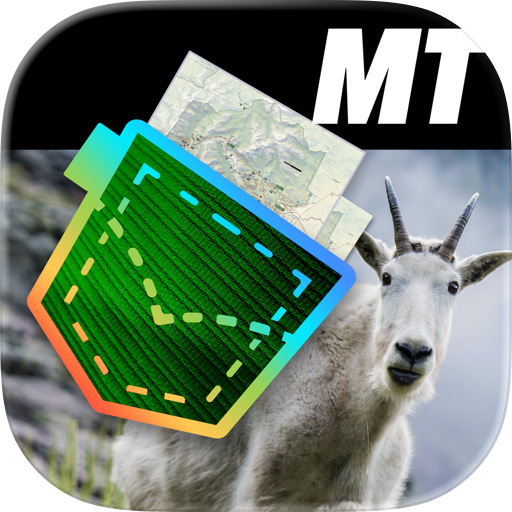
Montana Pocket Maps
Alex Gugel
4.40 (31)
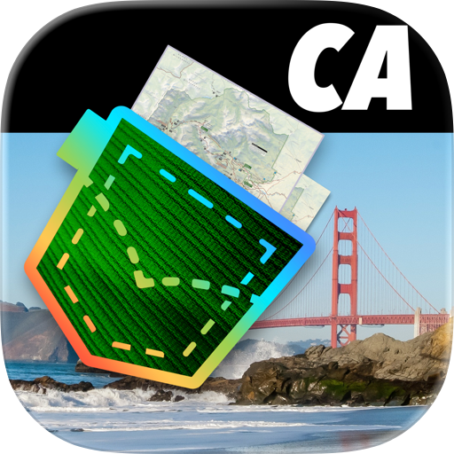
California Pocket Maps
Alex Gugel
4.50 (109)
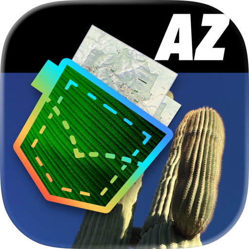
Arizona Pocket Maps
Alex Gugel
4.60 (147)
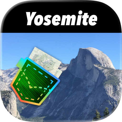
Yosemite Pocket Maps
Alex Gugel
4.80 (10)

Wyoming Pocket Maps
Alex Gugel
4.70 (105)

Hawaii Pocket Maps
Alex Gugel
4.30 (15)
Virginia Pocket Maps
Alex Gugel
4.40 (48)