Overview

Rating:
5.00
(1)
Version:
1.0.5
Last updated: 2024-06-06
Ranking
#759,174 505
Overall

Features & Capabilities

One-time purchase; no subscrptons. Uses WGS84 LLA coordinate system. Import points & create boundary area to generate contour lines. Stake out to Points or along a Line.

Use “Contour - Volume - Stakeout” on your iPad, iPhone or iPod touch to generate a contour map of elevations or some other variable of interest. Then you may have volumes computed based on the contour regions. For example, a farmer could record soil data at the sampling points then have the variable of interest contoured over the farm plot. This contour map could serve as a guide in fertilizer application. If there is a mound of land to be leveled, the Volume function could help you compute the amount of dirt to remove based on the elevation data taken over the mound.

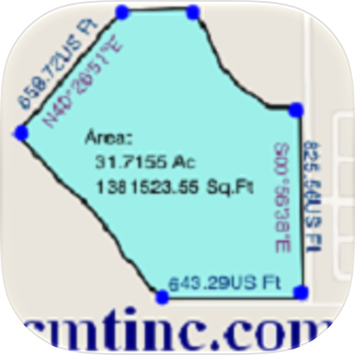
Also use this app to precisely digitize Points, Lines and Areas over the built-in Map and view their locations, lengths and areas. If your device has GPS capability, you may record the GPS location as a Point, or pick the GPS location as a node for the Line or Area you are creating. Location accuracy depends on the accuracy of the GPS receiver used

This app provides Point Stakeout and Line Stakeout functions to help you approach a point or move along a line or area boundary.

The contour map can be printed to PDF. The contour data can be exported in a text file format. The Feature data can be exported in Shapefiles and DXF formats.

Detailed Function List:

  • Import Shapefiles, DXF files and text files.
  • Create a grid and generate sampling points.
  • Precisely digitize Points, Lines and Areas over the built-in Map.
  • Use Point Stakeout and GPS to locate a point or a node on a line.
  • Use Line Stakeout and GPS to locate a line.
  • View position, length and area values for the Features.
  • Label the Lines with segment lengths and directions as well as corner angles.
  • Label the Areas with size in acres and square feet or hectares and square meters.
  • Measure distances and areas without saving the shapes.
  • Move existing nodes to fine-tune the map drawing.
  • Create a Point from entered coordinates.
  • Create a Point or record a node by picking the GPS location.
  • Save the job data file for later use.
  • Export Feature data to DXF or Shapefiles.
  • Export the contour data to a .CSV text file.
  • Output the drawing and the coordinates to PDF.
  • Email the job data files and the PDF files to your colleagues.

This app comes with a detailed built-in help document.

Please note: Continued use of GPS running in the background can dramatically decrease battery life. This app will let you easily toggle the built-in GPS on or off.

User Growth & Download Statistics

App
By:
CORVALLIS MICROTECHNOLOGY, INC.
Rating:
5.00
(1)
Version:
1.0.5 Last updated: 2024-06-06
Version code:
866488635
Creation date:
2014-06-04
Compatible devices:
Size:
10.79MB
Price:
29.99
URLs:
Website ,Privacy policy
Full description:
See detailed description
Source:
Apple Apps Store
Data ingested on:
2026-09-02
Compare stats and ranking:

Contact the developer

Chrome-Stats does not own this Apple app. Please use these information below to contact the Apple app developer.
Developed by:
CORVALLIS MICROTECHNOLOGY, INC.
Apple Apps Store
https://apps.apple.com/us/app/contour-volume-stakeout/id882627414
Website:
http://www.cmtinc.com

Best Contour - Volume - Stakeout Alternatives

Here are some Apple apps that are similar to Contour - Volume - Stakeout: