Historic Aerials
Property History/Aerial Photos
Overview
Features & Capabilities
User Growth & Download Statistics
App
- By:
- Nationwide Environmental Title Research, LLC
- Rating:
- 2.20 (44)

- Version:
- 1.2.0 Last updated: 2026-06-06
- Version code:
- 886549552
- Creation date:
- 2026-03-23
- Compatible devices:
- Size:
- 38.97MB
- URLs:
- Website ,Privacy policy
- Full description:
- See detailed description
- Source:
- Apple Apps Store
- Data ingested on:
- 2026-07-20
- Compare stats and ranking:
- Historic Aerials vs GotHistory: Travel & Learn
- Historic Aerials vs PastViewer
- Historic Aerials vs GEarth Map: Satellite Map GPS
Ranking
For Developers
Contact the developer
Chrome-Stats does not own this Apple app. Please use these information below to contact the Apple app developer.
User Reviews
Pros
- Historical imagery across multiple years with the ability to compare different years.
- Imagery not easily found in other services like Google Earth.
- Split View support on iPad for multitasking.
- The browser version is available and helpful as a reference.
Cons
- Intrusive ads (pop-ups, banners, and video ads) disrupt the experience.
- Watermarks obscuring the map and making screenshots impossible.
- Frequent server errors and login/account creation issues prevent use.
- General instability and bugs that render the app unusable at times.
- Slow map loading and data reload when zooming.
Recent reviews
The adds make the app very hard to use with the banner at the top and the pop ups every few minutes. Plus there is no option for a paid version
by Jo*****, 2026-06-29
This app is absolutely ruined by malicious ads. I got pop ups covering my screen telling me I have a virus on my phone! I would not mind regular ads for product but this malicious stuff is too much. Just put regular ads and they can be twice as long. I would not even share this app with my wife, even though she is into history and genealogy.
by Na*****, 2026-06-15
Best Historic Aerials Alternatives
Here are some Apple apps that are similar to Historic Aerials:

GotHistory: Travel & Learn
BAGL LIMITED
0.00  (0)
(0)

PastViewer
Dmitry Vorobyev
0.00 (0)

GEarth Map: Satellite Map GPS
国辉 满
4.70 (388)

Historical Satellite Maps
晓宁 师
2.00 (1)

Live Aerial 3d View
Muhammad Asad Khan
0.00 (0)

US Historic Places
BINARYFUEL, LLC
3.90 (19)
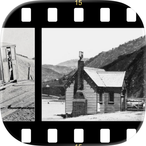
Historical New Zealand
Adrian Ross
5.00 (2)

HEIR - Historic Environment Image Resource
Keepthinking Limited
3.00 (1)

re.photos
Soren Weber
5.00 (2)

TimeCam – History Camera
Fear Army LTD
0.00 (0)

Aerial Photographs of Japan
Takafumi AMANO
0.00 (0)

Floating Maps
Floating Maps LLC
5.00 (4)