GPS & Road Sensor Data Logger
Speed limits as a persistent map overlay, trip auto-stop summaries, voice picker with previews, and new traffic feeds for FR, NZ, AU, FI, and London TfL.
Maps Telemetry turns your iPhone into a professional-grade GPS and sensor telemetry unit that publishes live data over MQTT.
PRICING
Free to download and use. A subscription model is planned for a future update — Free, Standard ($4.99/mo · $39.99/yr), and Fleet ($14.99/mo) tiers. If you are using the app before subscriptions launch, all features you use today will remain free permanently.
BACKGROUND TELEMETRY
GPS, accelerometer, gyroscope, barometer, and noise data are published continuously via MQTT — even with the screen off. Every payload includes position, speed, altitude, heading, HAE, circular error (CE), and linear error (LE) for high-accuracy workflows.
ROAD MAPPING
Record GPS traces with per-point road grade (slope %) and roughness (m/s²) sampled at maximum sensor rate. Review results as a colour-coded 3D route in MapLibre — toggle between grade and roughness overlays. Choose from five transport modes: Driving, Walking, Cycling, Boat, or Train. Export to GPX, CSV, GeoJSON, or KML for any GIS tool.
LIVE TRAFFIC CAMERAS
Real-time 511 traffic cameras for Ontario, Quebec, Alberta, and British Columbia overlaid on the map. Tap a camera and swipe between multiple angles at the same intersection. Quebec streams live MP4 video; other provinces show refreshing JPEG stills.
ROAD ALERTS
Real-time 511 road conditions for ON, QC, BC, and AB overlaid on the map. National NAAD emergency alerts included. Speed camera, red-light camera, school zone, and playground zone warnings as you approach.
NAVIGATION
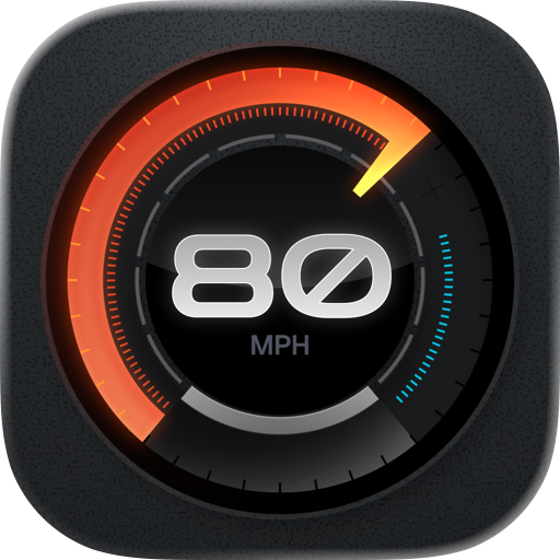
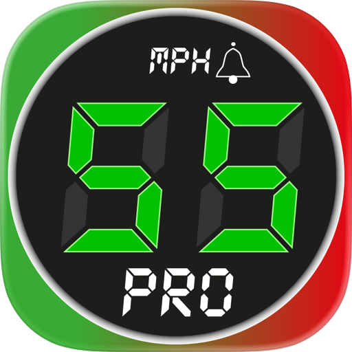
Turn-by-turn with auto-advancing steps, live distance countdown, automatic off-route detection and rerouting. Live speed-limit display in the nav panel. Long-press any road to preview a re-route through it. Reorder, optimise, and add stops mid-route.
VEHICLE PROFILES
Save multiple vehicles (car, van, truck, motorcycle, EV, EV truck). Per-vehicle dimensions: length, height, width, weight, trailer, fuel type, icon. Active vehicle drives height- and weight-aware routing — avoid restricted roads and get warned when a route exceeds your vehicle's limits.
CARPLAY
Dedicated CarPlay dashboard with live telemetry, navigation, and quick actions: drop a Waypoint, Report an incident (Pothole / Hazard / Police / Accident), End route. During navigation, three upcoming directions are visible at once (NOW · NEXT · AFTER) plus a Steps button for the full list.
2D & 3D MAPS
MapLibre 2D and Apple Maps 3D with live position tracking, heading-follow, and terrain. Long-press the map for Go Here, Add a Stop, or Report an Event. Light, Dark, or System theme.
ROAD EVENT DETECTION
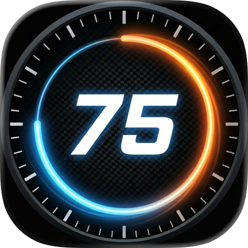
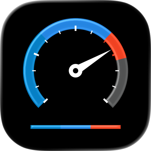
Automatic detection of potholes, hard braking, hard acceleration, and swerve events using the IMU. Trip report and drive score after each session. Events are timestamped and geotagged.
EXPORT
Share sessions as GPX, CSV, GeoJSON, or KML via AirDrop, Mail, or Files. Import GPX routes from Files or AirDrop.
PRIVACY
By default, telemetry is published to a secure MQTT service operated by the developer in Canada (AWS IoT). No data is sold or shared with third parties. Data is retained for up to 90 days and then deleted automatically. You can request immediate deletion or a copy of your data at any time by emailing support@mapgeometrics.com. See our Privacy Policy for full details and your rights under GDPR, PIPEDA, and CCPA.
Chrome-Stats does not own this Apple app. Please use these information below to contact the Apple app developer.


 (4)
(4)