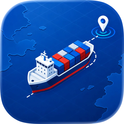
Track ships worldwide for free. Real-time AIS vessel positions on a live map with AR overlay, proximity alerts, and ferry tracking. No account or subscription needed.
Track every ship on the water - completely free, no subscription required.
VesselScope puts real-time vessel positions on a live map using AIS (Automatic Identification System) data. Whether you are watching cargo ships cross the ocean, tracking ferries on Puget Sound, or spotting sailboats from shore, VesselScope gives you the tools that competing apps charge monthly fees for - at no cost.
REAL-TIME VESSEL TRACKING
See ships move across a live map with continuously updated positions from AIS data streams. Every vessel broadcasts its identity, speed, course, and navigation status - VesselScope decodes it all and displays it instantly.
AUGMENTED REALITY VIEW
Point your iPhone or iPad camera at the water and see vessel information overlaid in augmented reality. The AR HUD shows ship names, distances, speeds, and headings right on your screen, anchored to the real-world positions of nearby vessels. No other free ship tracker offers this.
PROXIMITY ALERTS
Set distance thresholds and get notified when vessels approach your location. Background monitoring keeps you informed even when the app is not on screen. Useful for mariners, harbor watchers, and anyone who wants to know when ships are nearby.
CLOSEST POINT OF APPROACH (CPA)
VesselScope calculates CPA for nearby vessels - the closest distance a ship will pass and when it will happen. Essential information for situational awareness on the water.
WASHINGTON STATE FERRIES
Get enriched data for WSF ferries including route information, docked status, and real-time positions. Know exactly where your ferry is and when it will arrive.
VESSEL FILTERING
Filter the map by vessel type, name, speed, or navigation status. Search for specific ships by name. Toggle stationary vessels on or off to focus on what matters.
TRACK LINES
See where vessels have been with track line overlays that trace each ship's recent path across the map.
CONNECT YOUR OWN AIS RECEIVER
Use your own AIS hardware with VesselScope. Connect a local AIS receiver (such as AIS-Catcher) for direct, unfiltered vessel data from your antenna - no internet required for local coverage.
MULTIPLE DATA SOURCES
Choose between AISStream.io for worldwide coverage via WebSocket or your own local AIS receiver for off-grid monitoring. VesselScope adapts to your setup.
BUILT FOR APPLE
Native SwiftUI app designed for iPhone, iPad, and Mac. Runs natively on Apple Silicon. No web wrapper, no Electron - a real Apple app that feels right at home on every device.
WHY VESSELSCOPE?
- 100% free with every feature unlocked
- No account required, no sign-up walls
- No ads, no tracking, no data harvesting
- Real-time AIS data from global streams
- AR vessel overlay (iOS)
- Background proximity alerts
- CPA calculations for safety awareness
- WSF ferry enrichment
- Local AIS receiver support
- Native on iPhone, iPad, and Mac
Whether you are a mariner, a shipping enthusiast, a ferry commuter, or just curious about what is sailing past, VesselScope is the ship tracker that gives you everything - for free.
Chrome-Stats does not own this Apple app. Please use these information below to contact the Apple app developer.


 (0)
(0)