Convert GPS coordinates & Map
Converts multiple lcoation formats and Auto-detect any coordinate format. Convert to 10+ formats simultaneously. Professional accuracy, simple interface.
Transform your iPhone into a powerful GPS coordinate conversion tool. [APP NAME] is the most comprehensive coordinate converter app, featuring unique LORAN-C support and intelligent auto-detection that instantly recognizes any coordinate format.
PERFECT FOR:
• Surveyors & Engineers
• Maritime & Aviation Professionals
• Outdoor Enthusiasts (Hiking, Boating, Fishing)
• GIS Professionals
• Emergency Services
• Geocaching
KEY FEATURES:
INTELLIGENT AUTO-DETECTION
Just paste or type your coordinates - our app automatically detects the format! No need to manually select DD, DMS, UTM, or any other format. Save time and eliminate errors.
UNIQUE LORAN-C SUPPORT
The ONLY app with LORAN-C coordinate conversion using official NOAA/NEFSC algorithms. Essential for maritime navigation, aviation, and historical coordinate data. Convert LORAN Time Differences (TDs) to latitude/longitude with professional accuracy.
COMPREHENSIVE FORMAT SUPPORT
Convert between 10+ coordinate formats:
• Decimal Degrees (DD)
• Degrees Minutes Seconds (DMS)
• Degrees Decimal Minutes (DMM)
• Universal Transverse Mercator (UTM)
• Military Grid Reference System (MGRS)
• United States National Grid (USNG)
• Plus Codes (Open Location Code)
• Geohash
• Maidenhead Locator System
• LORAN-C Time Differences
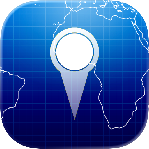
NTERACTIVE MAP VIEW
Visualize any coordinate on an interactive map powered by OpenStreetMap. Place markers, measure distances between multiple points, and view coordinates directly on the map. Navigate to coordinates from conversion results with one tap.
MEASUREMENT TOOLS
Measure distances and bearings between multiple points on the map. Perfect for planning routes, calculating distances, and surveying. View individual leg distances and total path length.
SAVE & ORGANIZE
• Save frequently used coordinates to favorites
• Track your conversion history
• All data stored locally on your device for privacy
• Quick access to recent conversions
WHY CHOOSE GPS COORDINATE SCOUT?
Most formats supported - Convert to 10+ formats simultaneously
Auto-detection - No manual format selection needed
Unique LORAN-C support - Only app with NOAA algorithms
Professional accuracy - Industry-standard conversion algorithms
Offline functionality - Works anywhere, no internet required
Clean, intuitive interface - Easy for everyone to use
Privacy-focused - Your data stays on your device
PROFESSIONAL USE CASES:
• Convert survey coordinates between systems
• Transform GPS coordinates for mapping projects
• Convert historical LORAN coordinates to modern formats
• Work with multiple coordinate systems in GIS applications
• Quick coordinate conversion for emergency response
OUTDOOR USE CASES:
• Convert coordinates for hiking and camping
• Transform GPS waypoints for boating and fishing
• Convert coordinates between different GPS devices
• Share locations in any coordinate format
• Plan routes with distance measurements
PRIVACY & SECURITY
Your coordinate data is processed locally on your device. Conversion history and favorites are stored locally and never transmitted to external servers. Full offline functionality ensures your data remains private.
REQUIREMENTS
Works on iPhone and iPad. Requires iOS 13.0 or later. Full offline functionality - no internet connection required for conversions.
PERFECT FOR:
Surveyors, engineers, GIS professionals, maritime navigators, pilots, outdoor enthusiasts, hikers, boaters, fishermen, emergency responders, and anyone who works with GPS coordinates and map points.
Chrome-Stats does not own this Apple app. Please use these information below to contact the Apple app developer.

 (1,670)