
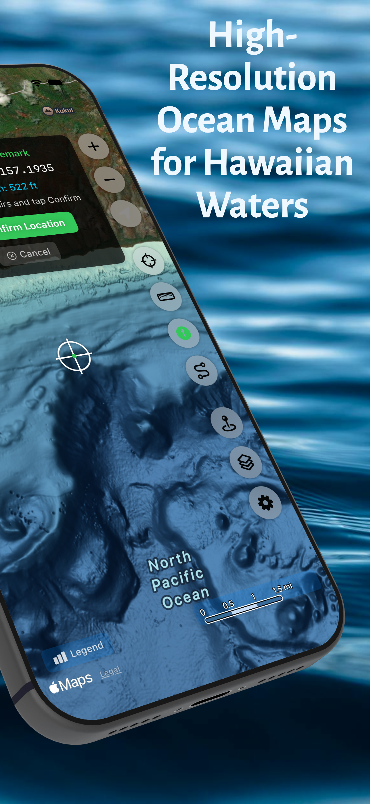


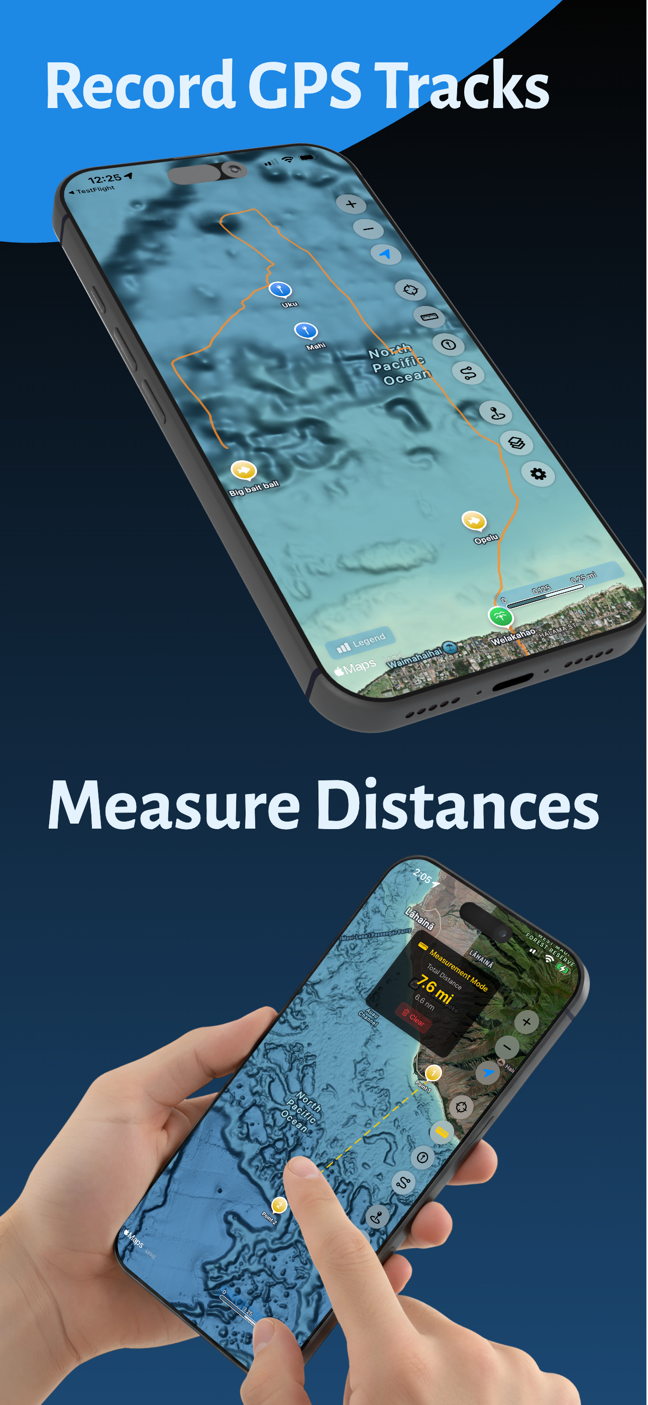


Features & Capabilities
User Growth & Download Statistics
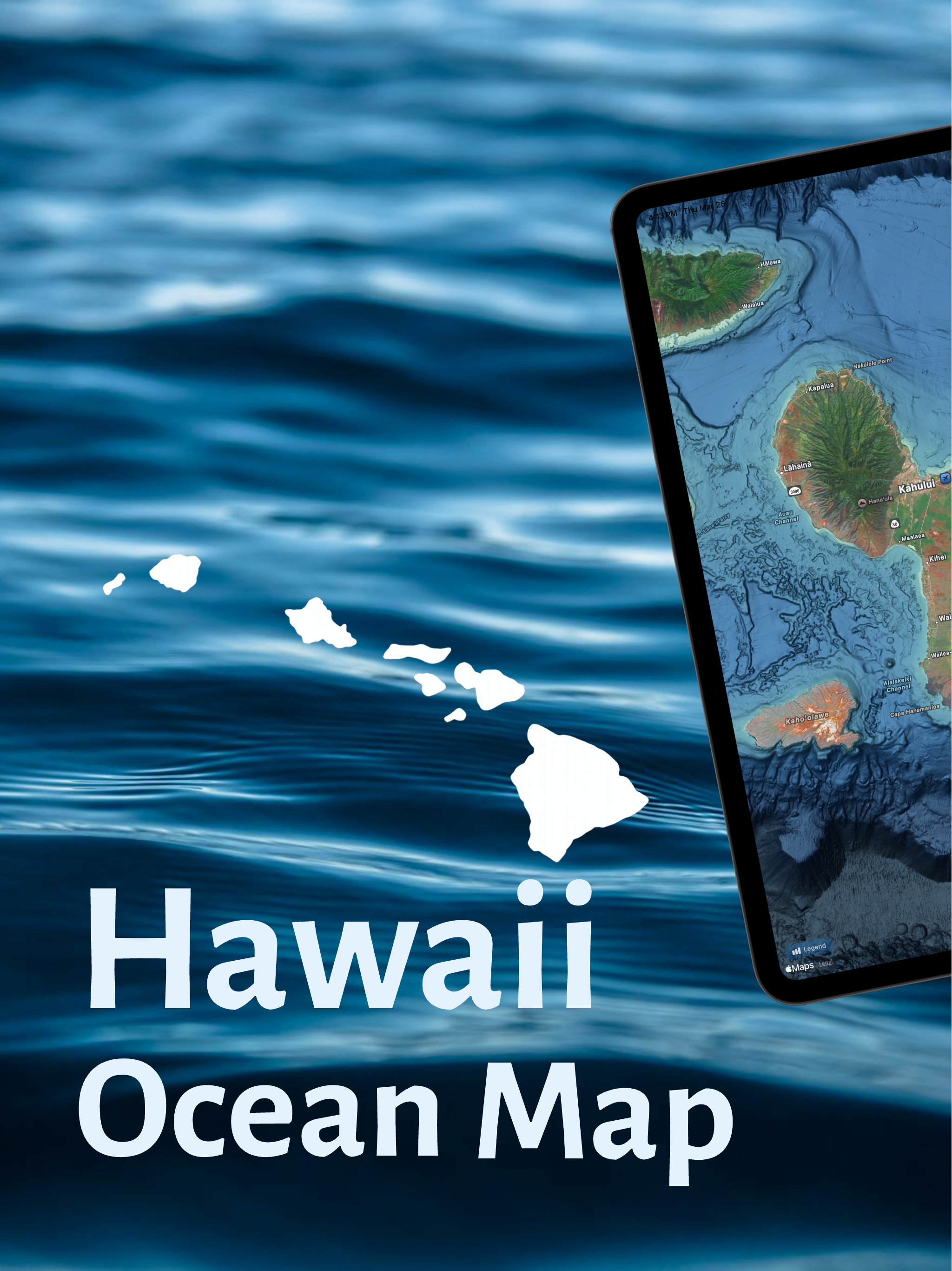
App
- By:
- Jorma Rodieck
- Rating:
- 5.00 (3)

- Version:
- 1.5.6 Last updated: 2026-05-08
- Version code:
- 885416011
- Creation date:
- 2025-12-07
- Compatible devices:
- Size:
- 17.17MB
- Price:
- 9.99
- URLs:
- Website ,Privacy policy
- Full description:
- See detailed description
- Source:
- Apple Apps Store
- Data ingested on:
- 2026-06-10
- Compare stats and ranking:
- Hawaii Ocean Map vs Sea Depth
- Hawaii Ocean Map vs i-Boating: USA Marine Charts
- Hawaii Ocean Map vs Hawaii Offline Map and Travel Trip Guide
For Developers
Contact the developer
Chrome-Stats does not own this Apple app. Please use these information below to contact the Apple app developer.
User Reviews
This is an amazing app wish i had this ten years ago soI can mark all my secret fishing spots and dive holes. Cheeeeehooooo! Cant wait for this to go Boooooooost global kine!
Easy to use for anyone
by Eh*****, 2025-12-09
Best Hawaii Ocean Map Alternatives
Here are some Apple apps that are similar to Hawaii Ocean Map:
Sea Depth
Seadepth Charst
5.00  (1)
(1)

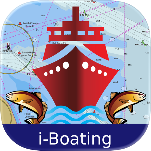
i-Boating: USA Marine Charts
Bist LLC
4.30 (185)

Hawaii Offline Map and Travel Trip Guide
OFFLINE MAP TRIP GUIDE LTD
0.00 (0)

Pilau Kai
Cory Pratt
5.00 (2)

Kauai Offline Map and Travel Trip Guide
OFFLINE MAP TRIP GUIDE LTD
0.00 (0)
i-Boating: Marine Charts & Gps
Bist LLC
4.50 (14,368)

Lahaina (Maui) Offline Map and Travel Trip Guide
OFFLINE MAP TRIP GUIDE LTD
0.00 (0)

Hawaii Pocket Maps
Alex Gugel
4.30 (15)
How Deep?
Evergreen Labs
0.00 (0)

Hawaii Travel App
rohit aneja
0.00 (0)

NOAA Buoys - Charts & Weather
Flytomap
0.00 (0)

Oahu Offline Map and Travel Trip Guide
OFFLINE MAP TRIP GUIDE LTD
0.00 (0)