Hiking, Backpacking, Springs
Plan the water along your route, then take the whole map offline. Springs, fountains and refill points, reported by the people who drank there.
Find Drinking Water, Plan It, Take It Offline
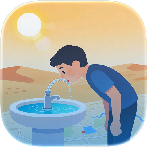
Water is the one thing you can't improvise. droply is a drinking water map that shows you springs, public fountains, refill points and water sources around you — on a trail, on a bike, or in a city you've never been to. Plan the water on your route before you leave, download the map for where there's no signal, and see what other people found before you.
PLAN THE WATER ALONG YOUR ROUTE
Import a route and droply lines up every water source along it, in order, with the detour it costs you to reach each one. That's water planning without the guesswork: see the long dry stretch before you're standing in it, decide where to carry and where to refill, and know what's waiting at the end of the day.
- Import a route as GPX and see its water sources in order
- Detour distance to each one, so you can pick the cheap ones
- Spot dry stretches before you set out, not during
- Share a route with a friend, or follow one they shared with you
AN OFFLINE WATER MAP
Download the area you're heading into and the whole map comes with you: water sources, photos and all. No signal, no roaming, no problem. You can still check in, comment and upload photos while offline; everything syncs once you're back in range. (Route water and offline areas are part of droply Pro. The map itself stays free.)
WHAT'S ON THE MAP
- Natural springs and streams
- Public drinking fountains and taps
- Refill stations and water caches
- Recent status from people who were there: flowing, dry, seasonal
- Photos, so you know what you're walking towards
- Notes on water quality and whether to filter
OUTDOORS
droply is a trail water finder made for people who spend their time outside: hiking, backpacking, camping, trail running, bikepacking, or just a long day out. Check water availability before a dry section, track sources near your campsite, plan your carry for a multi-day route. Reports come from people who actually stood there, not from a guidebook printed three seasons ago — and if you're heading for the PCT, the water report is in here too, kept up to date automatically.
IN THE CITY
Traveling doesn't stop at the trailhead. droply maps public drinking fountains in cities too, so a day of sightseeing doesn't have to mean buying another plastic bottle. New in town, on a city break, or out on a bike: open the map, find the nearest fountain, refill for free. Download the city before you fly and the map works with no roaming data at all.
BUILT BY THE PEOPLE WHO USE IT
droply runs on community reports. Found a spring, a tap, a fountain? Add it to the map, confirm it's still flowing, upload a photo, leave a note for whoever comes next. Springs dry up, caches get refilled, fountains get switched off for winter, and the droply community keeps the map honest.
WHY PEOPLE USE DROPLY
- Plan the water on a route before you go, instead of hoping
- An offline water map for everywhere there's no signal
- Springs, fountains and refill points on one map
- Real reports and photos, not outdated guidebook data
- Public drinking fountains in cities across Europe and beyond
- Free to use: finding water on the map costs nothing, and never will
Whether you're planning a multi-day hike, a bikepacking weekend or three days in a city you don't know yet, droply helps you find your water and never run dry.
droply – find your water!
Terms & Conditions: https://www.apple.com/legal/internet-services/itunes/dev/stdeula/
Chrome-Stats does not own this Apple app. Please use these information below to contact the Apple app developer.


 English
 Español
 Français
 Português
 日本語
日本語 简体中文
简体中文 한국인
한국인

 (0)
(0)