Overview
Features & Capabilities
User Growth & Download Statistics
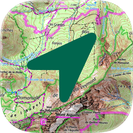
App
- By:
- RoadTour LLC
- Rating:
- 4.50 (32)

- Version:
- 6.5.7 Last updated: 2023-08-30
- Version code:
- 859264801
- Creation date:
- 2012-02-08
- Compatible devices:
- Size:
- 90.67MB
- URLs:
- Website ,Privacy policy
- Full description:
- See detailed description
- Source:
- Apple Apps Store
- Data ingested on:
- 2026-07-20
- Compare stats and ranking:
- OutDoors GPS France - IGN Maps vs OutDoors GPS – Offline OS Maps
- OutDoors GPS France - IGN Maps vs CartoExplorer | maps | GPS
- OutDoors GPS France - IGN Maps vs Trail maps with GPS
Ranking
For Developers
Contact the developer
Chrome-Stats does not own this Apple app. Please use these information below to contact the Apple app developer.
User Reviews
Lots of incredibly detailed maps, but the resolution is so low that, when you zoom in, the maps are useless. No help finding hiking trails or circuits in my area, which is an ecotourism region with plenty of trails. The subscription has no trial period. For hiking information, look elsewhere.
by Sk*****, 2023-10-30
Very good app with lots of bike routes on IGN’s base maps.
But it isn’t comprehensive by any stretch, missing many signed and designated routes.
Plus, the view is set bizarrely: it’s impossible to read labels, which shrink as you zoom in. So you can’t tell what town you might be heading for, nor which road you are traveling on. This seems like it would be a preference setting in the app, but it seems impossible to change.
by po*****, 2023-05-30
Best OutDoors GPS France - IGN Maps Alternatives
Here are some Apple apps that are similar to OutDoors GPS France - IGN Maps:

OutDoors GPS – Offline OS Maps
RoadTour LLC
4.60  (58)
(58)

CartoExplorer | maps | GPS
Lucas Miller
5.00 (13)

Trail maps with GPS
Matteo Martin
0.00 (0)

OutDoors GB - Offline OS Maps
RoadTour LLC
5.00 (14)

WeTrek – Trail, Hike & Cycling
Ubicarta
4.50 (80)
Iphigénie | Offline Maps
Iphigenie
4.60 (22)

BackCountry Navigator XE
Jirolabs LLC
2.80 (36)

France Offline Map and Travel Trip Guide
OFFLINE MAP TRIP GUIDE LTD
0.00 (0)

Outdooractive
Outdooractive AG
4.30 (435)

HexaTrek : Thru Hike France
Kevin Ginisty
5.00 (2)

Freemap
BIGWARE, spol. s r.o.
5.00 (1)

68° GPS touristique
68°
4.40 (13)