Overview
Features & Capabilities
User Growth & Download Statistics
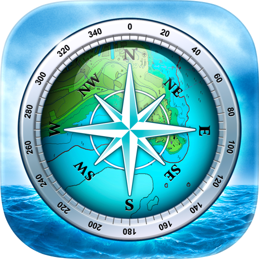
App
- By:
- SailTrack Limited
- Rating:
- 5.00 (1)
 5.00
5.00 - Version:
- 2.0.12 Last updated: 2026-07-01
- Version code:
- 887677506
- Creation date:
- 2023-04-19
- Compatible devices:
- Size:
- 120.39MB
- URLs:
- Website ,Privacy policy
- Full description:
- See detailed description
- Source:
- Apple Apps Store
- Data ingested on:
- 2026-07-19
- Compare stats and ranking:
-
Ranking
For Developers
Contact the developer
Chrome-Stats does not own this Apple app. Please use these information below to contact the Apple app developer.
User Reviews
Sailors are faced with a myriad of options with weather, navigation, and general boating apps. AngelNav stands out as the only app for sailors that respects and balances their love of technology, and more importantly- their adherence and practice of traditional navigation techniques. Raster charts, satellite imagery, and optimal utilization of Apple’s ecosystem make up this amazing application. Extensive chart portfolios, and well thought out tools round out a well minded UI that respects good seamanship in our digital age. Enjoy this app, and get out there knowing you have a powerful tool at hand.
by JH*****, 2025-04-21
Best AngelNav Alternatives
Here are some Apple apps that are similar to AngelNav:
SeaNav
Pocket Mariner Ltd.
4.40  (242)
(242)
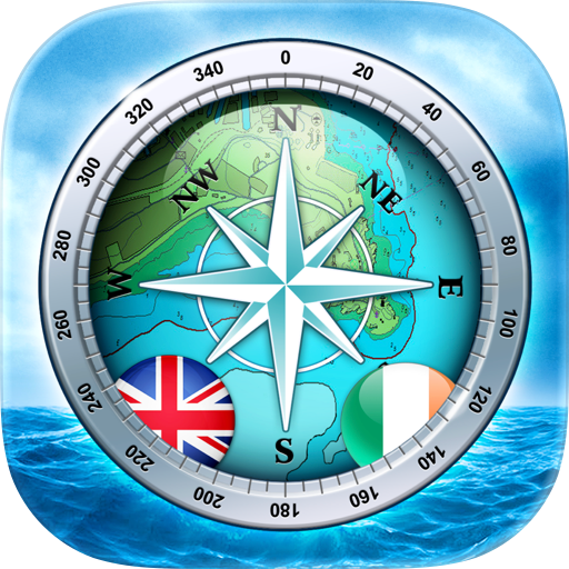
SeaNav UK & Ireland
Pocket Mariner Ltd.
4.50 (92)

Seapilot
Seapilot
2.90 (15)

NavLink HD
DigitalYacht Ltd.
4.00 (5)

onNAV Marine
onNAV LLC
4.20 (18)

iSailGPS : NOAA USA RNC Charts
James Associates Inc.
3.90 (71)

Charts & Tides
Navimatics Corporation
0.00 (0)

iSailGPS NZ : Nautical Charts
James Associates Inc.
4.20 (15)
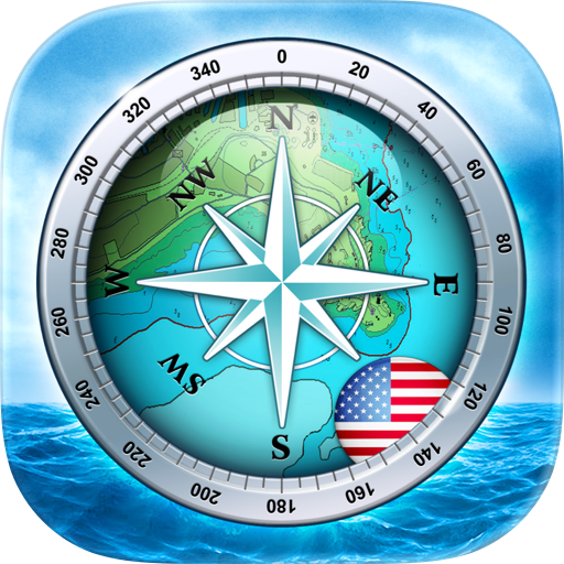
SeaNav US
Pocket Mariner Ltd.
4.30 (100)

Njord Pilot mobile
GEOPHONE GROUP INTERNATIONAL Oy
0.00 (0)

RT-Nav
Hilton's Fishing Charts, L.L.C.
3.00 (8)
PRO CHARTS - Marine Navigation
MiraTrex, Inc.
4.50 (8,467)