Features & Capabilities
User Growth & Download Statistics
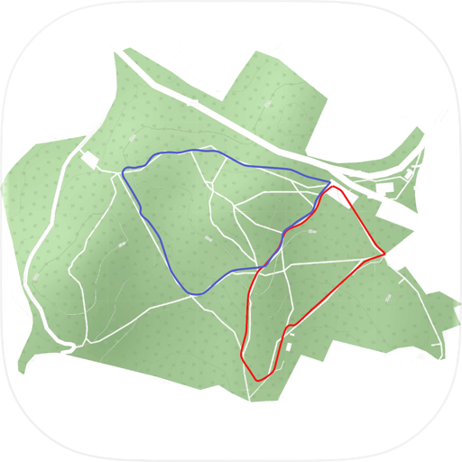
App
- By:
- Doug Colton
- Version:
- 1.8.2 Last updated: 2025-09-03
- Version code:
- 877806033
- Creation date:
- 2021-04-17

- Compatible devices:
- Size:
- 39.98MB
- URLs:
- Privacy policy
- Full description:
- See detailed description
- Source:
- Apple Apps Store
- Data ingested on:
- 2026-07-15
- Compare stats and ranking:
-
For Developers
Contact the developer
Chrome-Stats does not own this Apple app. Please use these information below to contact the Apple app developer.
Best Hike Buxton Alternatives
Here are some Apple apps that are similar to Hike Buxton:

Boundary Walk
Doug Colton
0.00  (0)
(0)

Derbyshire Walks
TinyRocket
4.40 (160)

Walk Derbyshire
Doug Colton
0.00 (0)

North Derbys & Notts Trails
AT Creative Limited
0.00 (0)

PG Tree
Doug Colton
0.00 (0)

Peak District Map
Jonathan Shutt
4.60 (5)

Discover East Staffordshire
AT Creative Limited
0.00 (0)

Peaky Wonders
Doug Colton
0.00 (0)

Staffordshire Walks
TinyRocket
4.60 (167)
Hesworth
Peter Allday
5.00 (1)

Dartmoor Outdoor Map
Jonathan Shutt
4.60 (7)

Poole's Cavern
Llama Digital
5.00 (1)