Overview
Features & Capabilities
User Growth & Download Statistics
App
- By:
- GEOPHONE GROUP INTERNATIONAL Oy
- Rating:
- 2.30 (3)
 2.30
2.30 - Version:
- 1.8.727 Last updated: 2023-09-10
- Version code:
- 859726210
- Creation date:
- 2020-01-28
- Compatible devices:
- Size:
- 85.50MB
- URLs:
- Website ,Privacy policy
- Full description:
- See detailed description
- Source:
- Apple Apps Store
- Data ingested on:
- 2026-07-24
- Compare stats and ranking:
- mKart Marine Navigation vs Njord Pilot mobile
- mKart Marine Navigation vs NavLink HD
- mKart Marine Navigation vs SeaNav UK & Ireland
Ranking
For Developers
Contact the developer
Chrome-Stats does not own this Apple app. Please use these information below to contact the Apple app developer.
Best mKart Marine Navigation Alternatives
Here are some Apple apps that are similar to mKart Marine Navigation:

Njord Pilot mobile
GEOPHONE GROUP INTERNATIONAL Oy
0.00  (0)
(0)

NavLink HD
DigitalYacht Ltd.
3.00 (3)
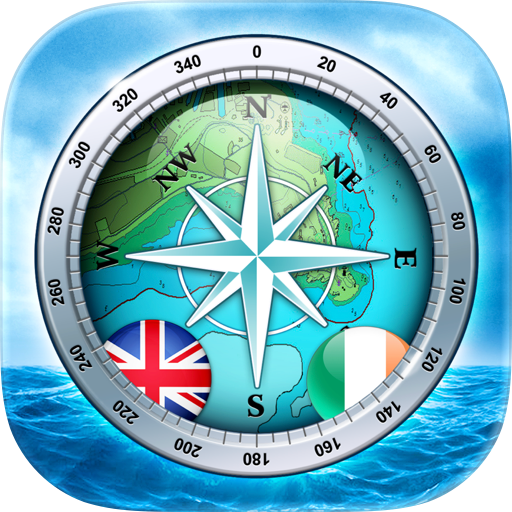
SeaNav UK & Ireland
Pocket Mariner Ltd.
4.50 (92)
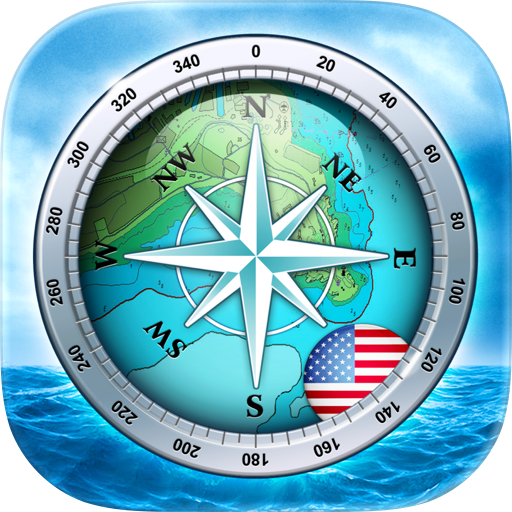
SeaNav US
Pocket Mariner Ltd.
4.30 (100)

onNAV Marine
onNAV LLC
4.20 (18)
SeaNav
Pocket Mariner Ltd.
4.40 (243)

Aqua Map Boating
GEC s.r.l.
4.70 (13,436)

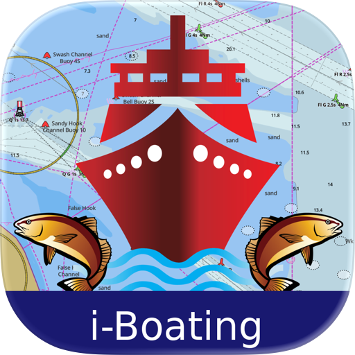
i-Boating: USA Marine Charts
Bist LLC
4.30 (185)

NAVLITE
Global SAR Hub
0.00 (0)

PRO CHARTS - Marine Navigation
MiraTrex, Inc.
4.50 (8,474)
i-Boating: Marine Charts & Gps
Bist LLC
4.50 (14,626)

i-Boating: Canada & USA - Marine / Nautical Navigation Charts for fishing & sailing
Bist LLC
3.80 (13)