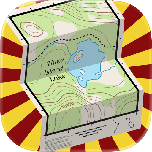
Overview
Features & Capabilities
User Growth & Download Statistics
- By:
- DC Cloud Apps, LLC
- Rating:
- 4.40 (206)
 2 new ratings
 - Version:
- 6.4.1 Last updated: 2024-06-23
- Version code:
- 866904011
- Creation date:
- 2015-10-28
- Compatible devices:
- Size:
- 12.64MB
- URLs:
- Privacy policy
- Full description:
- See detailed description
- Source:
- Apple Apps Store
- Data ingested on:
- 2026-07-17
- Compare stats and ranking:
-
Ranking
For Developers
Contact the developer
Chrome-Stats does not own this Apple app. Please use these information below to contact the Apple app developer.
User Reviews
Pros
- Offline maps that work without cell service after downloading map segments
- Simple, intuitive interface that stays out of the way while using
- Free to use with no subscriptions or ads, plus privacy-friendly (no data collection)
- High-detail topo maps with contour lines, trails, landmarks available for free/offline use
- Allows saving and organizing pins, measuring distances, and offline route planning (with maps that can be stored on a computer for easier device transfer)
Cons
Recent reviews
If you want real topo maps beyond “terrain”, this app is the one you want; it’s built to be useful, not to make money for the author, and it shows in every feature. You get direct access to real and downloadable USGS topographical maps, with or without satellite imagery. It does lack some nice features other apps have, but I always find myself using this one instead because it works and provides direct access to the thing I actually want, the map. It’s simple, clear, and direct because it was written in the true spirit of the Internet, open information for all. The author made a very helpful tool and I thank them for it. Features: multiple map choices, map downloads for offline use, track recording, waypoint recording, on-the-fly measurement tools, and full data exporting including downloaded maps, all from a small, simple, cleanly coded, efficient, old school, useful app. Yay.
by KR*****, 2026-06-24
The best I’ve used or seen used. Works every where as long as you down load that map. I recommend to everyone I know. The only issue I have is I got a new phone and noticed that the new maps down loaded to my new phone are not the same as the maps on my old phone. The new maps are missing info? Trail names tracks etc. but other than that great app!
by 71*****, 2026-04-29
Best Topo Maps US Alternatives
Here are some Apple apps that are similar to Topo Maps US:

Topo Maps Canada
DC Cloud Apps, LLC
4.20  (15)
(15)

Topographic Maps & Trails
LW Brands, LLC
4.60 (2,811)

Topo Nomad
Delcartes LLC
4.60 (152)

Topo Reader
Delcartes LLC
4.60 (174)
Topo Maps 2
Mappendix Limited
4.10 (34)

LiveTopo
TerraTrace Corp
0.00 (0)

Topo Maps+: Topographic Maps
Glacier Peak Studios LLC
4.70 (9,260)

Topo Maps
East Studios Oy
3.60 (31)

Topo Map & Hiking Tracker
LW Brands, LLC
4.70 (1,357)

USA Parks & Forests GPS Maps
Flytomap
1.00 (1)

Natural Atlas: Topo Maps & GPS
Natural Atlas
4.50 (185)

iHikeGPS : Classic Topo Maps
James Associates Inc.
4.40 (59)