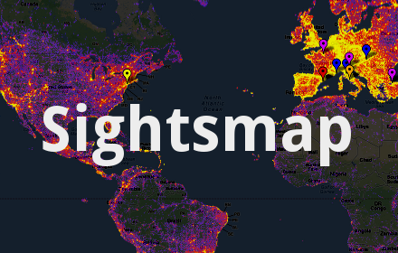

Sightsmap
Discover beautiful places: the most photographed sights in every area of the world.
What is Sightsmap?

Stats
Chrome-Stats Rank
Other platforms

Summary
Sightsmap is the best tool for discovering beautiful places and planning your trip: where to go and what to see.
Want to suggest places to friends? Create and share your own maps, suggestions and trip plans, anywhere in the world.
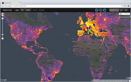
The heatmap shows the places people like, based on the number of panoramio photos at each place in the world. The dark areas have few photos, the red areas have more and the yellow areas have a large number of photos geotagged.
The hottest places have markers linking photos, streetview, wikipedia, wikivoyage, foursquare and google plus articles about the site. The place names are selected by the wikipedia readership numbers and foursquare checkins. Area populations are based on the geonames database.
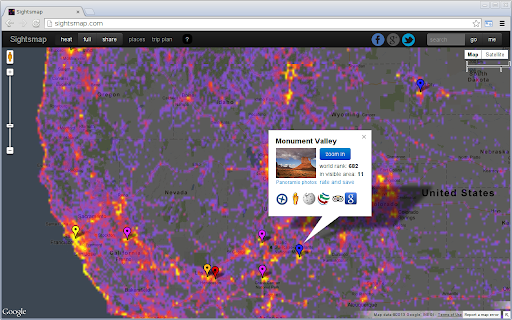
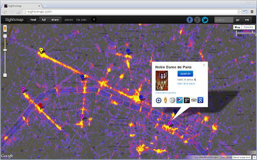
Street level heatmaps are available for top 15000 places in the world, sorted by the number of photos in an area of a size of a few square kilometers around the place center. The popularity ranking of places in high-res area maps is computed by combining place hotness with popularity rankings from wikipedia, foursquare and real-time google places selection.
Add a link ending with any place name to your own blog like this: http://www.sightsmap.com/New_York
Zoom in and enjoy the photos!
User reviews
Safety
Risk impact
Sightsmap is safe to use. It does not request any sensitive permissions.
Risk likelihood
Sightsmap has earned a fairly good reputation and likely can be trusted.
Screenshots


Promo images